-
Possible Upcoming Storm – Oct. 2nd – 8th, 2024
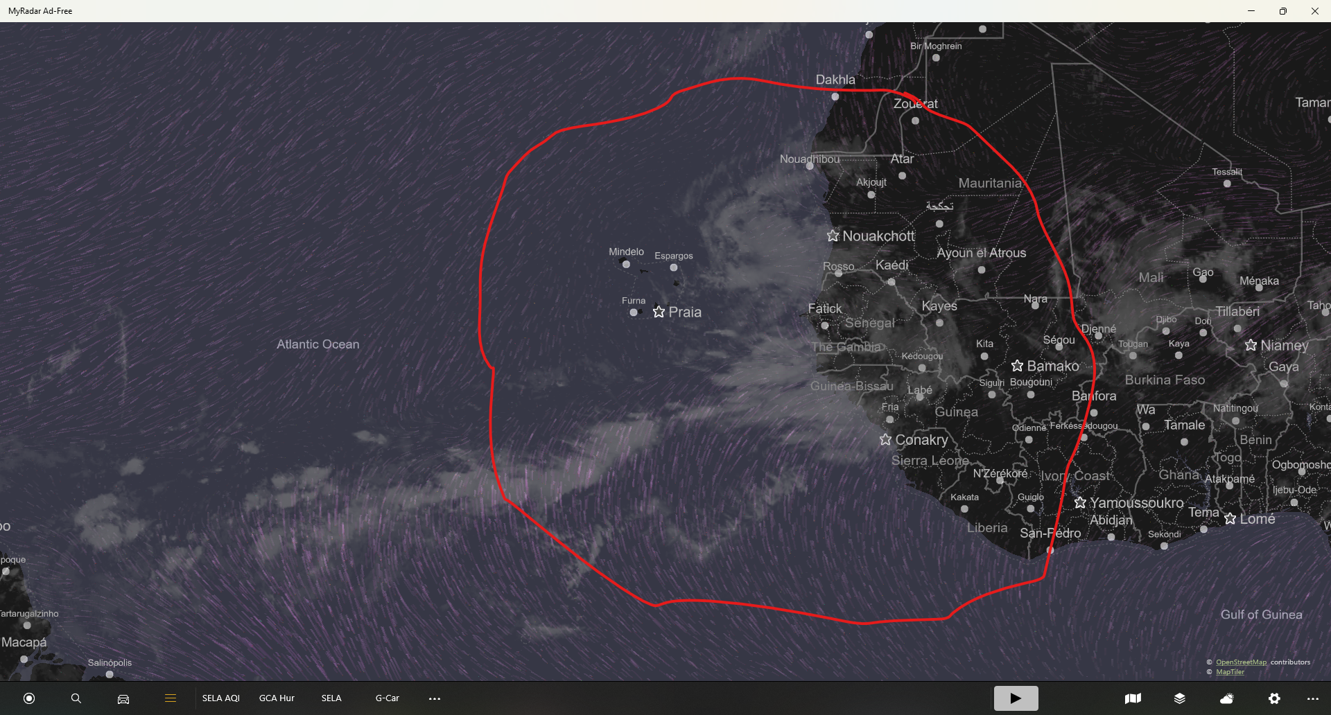
Below is an animation of projected weather from Oct. 2 – 8th, 2024. This may or may not happen. Generally, the paths and strengths of the storms in these projections are in question, but their existence is not. So, stay safe, stay informed.
-
Sep. 25, 2024 pm- Helene – Cat 4 on Landfall
Rapid intensification has begun. Included are interactive maps of the affected area.
-
Sept. 25, 2024, Helene entering the Gulf
Helene is currently an 80+ mph category 1 hurricane and slowly entering the Gulf of Mexico through the Yucatan Channel at 9 kts. Helene is expect to rapidly intensify once entering the Gulf, reaching category 3 status, making landfall south southwest of Tallahassee, Florida near Dog Island about 7 pm Thursday, September 26th.
-
Sept. 23, 2024 – Tropical Storm Potential
The current models have the developing system making landfall somewhere around the Big Bend WMA in Florida on the afternoon of September 26th after undergoing rapid intensification in the Gulf of Mexico.
-
Sept. 21, 2024, Imagery
A number of models collected over the last week from TropicalTidbits.com. A very nice DIY weather site. There seems to be a trend towards an area around Big Bend WMA, Florida. However, models differ greatly, putting the disturbance as far west as Mexico and all places in between.
-
Sept. 11, 2024, 5 am. Francine making landfall as a cat. 2
Landfall about 5-7 pm. But, coastal areas feeling tropical storm winds as early as noon. Center pressure estimated at 977 mb. However, Hurricane Hunters are thinking they may find the central pressure even lower. Storm surge can be significant from Atchafalaya to Cocodrie. Estimated to be 5-10 feet with 70 mph winds. If you live…
-
9/10/24 – Francine Track Correction
Track Correction to just west of Morgan City. Projected strength is now a Category 1. This is good for Lafayette, bad for St. Mary and Terrebonne Parishes. If you are in a compromised or weak structure, you need to take action today (Tuesday) not Wednesday. Wednesday will be too late to make preparations as we…
-
Sept. 10, 2024, TS Francine, Preparing for a Cat 2
Tropical Storm Francine is currently moving about 5 mph NNW with a pressure of about 992 mb. Sustained winds are 65 mph. She is about 415 miles SSW of Cameron, Louisiana. The math says if she continues at this speed, she won’t make it here until Friday. But, the official forecast has her accelerating and…