
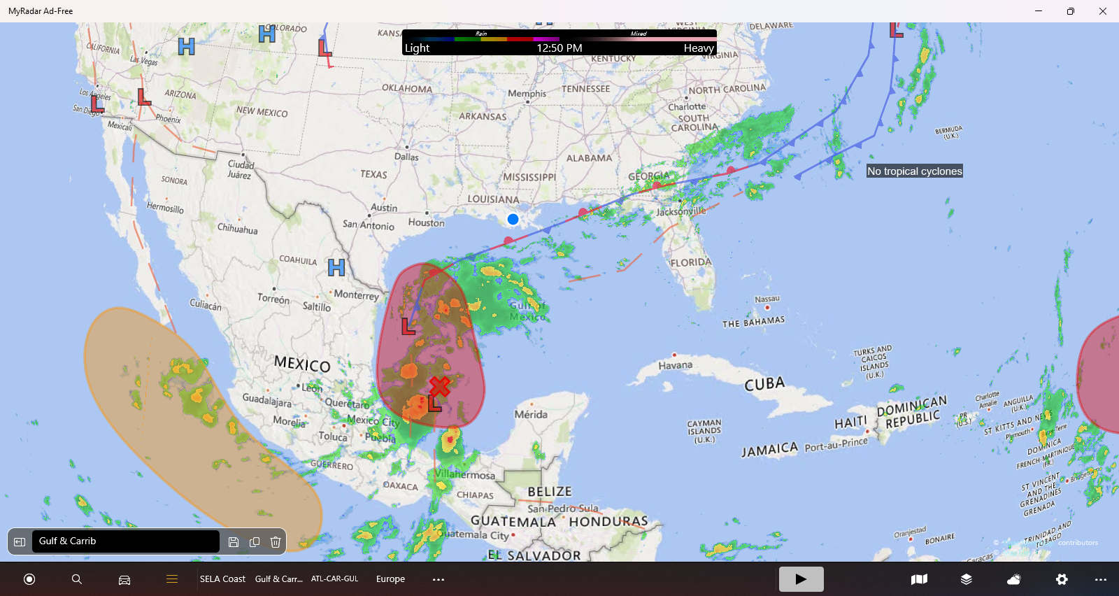
There is a growing area of concern just off the coast in the Bay of Campeche. While it is much to early to make any definitive predictions, we should be in the “Monitoring” stage. Keeping your eye on the weather about once daily should be fine. Purchasing some 2-Liter bottles of soda or gallons of milk so you can drink them, refill them with water and put them in your freezer, wouldn’t be a bad idea. But, it is not “freak out” time. It is much too early. There simply isn’t enough organization in the storm system to even call it a “storm system.” It is a gaggle of thunder-storms with winds on the western-most side about 40 mph.
Below are some excerpts from the National Hurricane Center.
Interests along the Gulf coast of Mexico, upper Texas, and Louisiana coasts should closely monitor the progress of this system. Tropical Storm Watches could be required for portions of the coast of northeastern Mexico and southern Texas later this afternoon or tonight, with additional watches possible along the coast of Texas and Louisiana later tonight or Monday. An Air-Force Reserve Hurricane Hunter aircraft is currently in route to to investigate the system this afternoon. Additional information on this system, including gale warnings, can be found in High Seas Forecasts issued by the National Weather Service.
* Formation chance through 48 hours...high...90 percent.
* Formation chance through 7 days...high...90 percent.
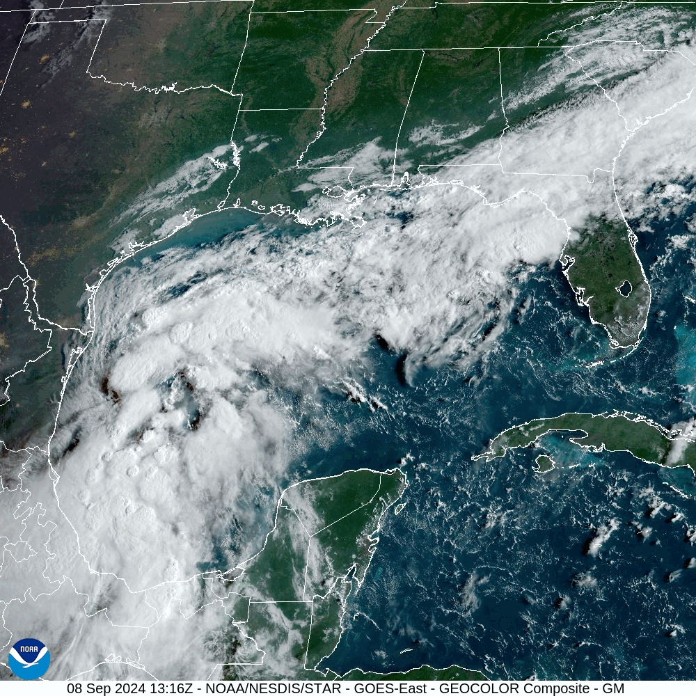
Wide view of Caribbean and Gulf of Mexico

Comprehensive satellite coverage at https://www.nhc.noaa.gov/satellite.php.
Jazzy J