Author: Jazzy J
-

Laura – Projected Track 7 am 8/24
Laura’s current track using data from NHC/NOAA. You may zoom-in onto the track of the storm and select the icons for additional information. I’m calling this prototype #3. Feel free to share and/or comment your wishes. Good luck, and stay safe. Jay C. “Jazzy J” Theriot
-
Wind Shear is a B*… just saying.
In the 10 pm, Aug. 23rd data released by NOAA, it appears that Marco is getting his head ripped off by wind shear. Currently about 30 kts, the shear is supposed to increase to about 40 knots and in 48 hours Marco will be completely torn to shreds. Now, for a good night sleep and…
-

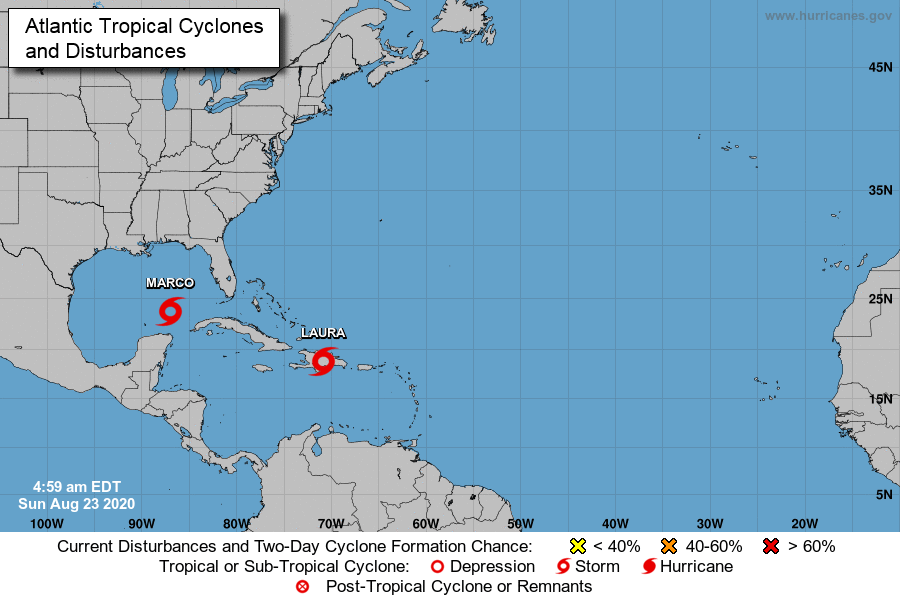
Marco and Laura – Interactive Maps
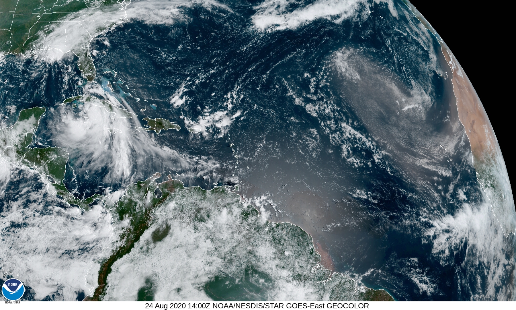
Welcome to 2020’s hurricane season. I’ve got not much to report except one bit of advice: Stay aware and prepared. Two storms will be hitting us within 24 hours of one another. Marco could be a strong cat 1 and Laura could be aspiring to be a cat 3 storm. Three or more days we…
-

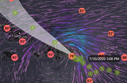
July 30, 2020, 10 am TS Isaias En Route to Cuba, Eastern Seaboard
Stats: Wind Speed: 58 mph, Gust: 69 mph, Pressure: 1003 mb, Ground Speed: 20 mph, Heading: NW 310 °.
-

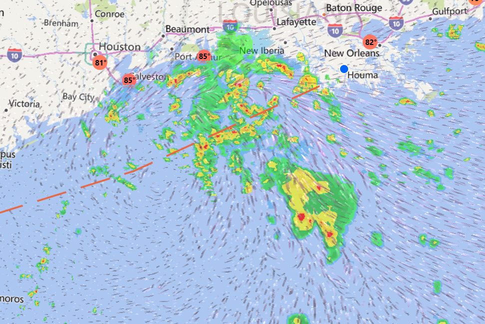
202007200732 Northern Gulf of Mexico Weather
The Gulf of Mexico has hosted a small center of circulation for the last few days. Although classified as a front, I’ve been watching the broad circulation pattern evolve since Friday. Still, there is no significant structural development, just lots of rain clouds.