Category: Atlantic
-

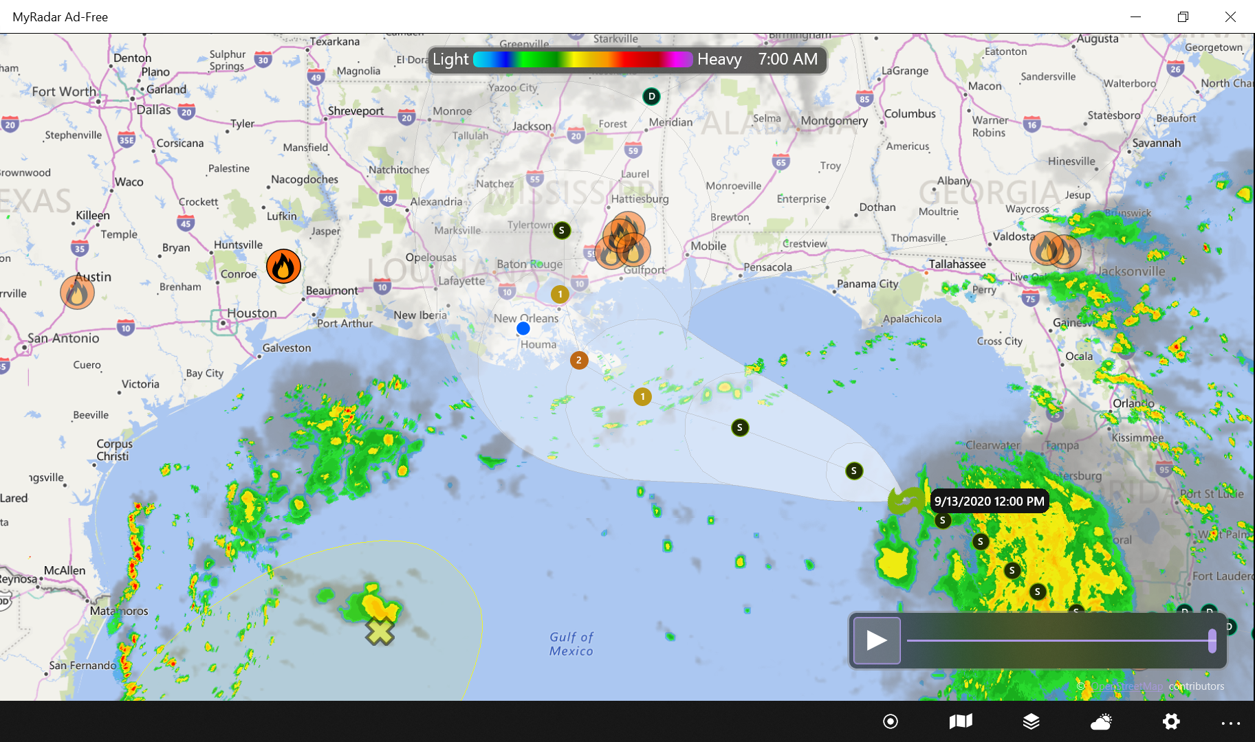
Sally – We are in a Watch – Cat 2 on landfall Tuesday
BULLETIN Tropical Storm Sally Intermediate Advisory Number 7A NWS National Hurricane Center Miami FL AL192020 800 AM EDT Sun Sep 13 2020…HEAVY RAINS FROM SALLY SPREADING NORTHWARD ALONG THE SOUTHWEST COAST OF FLORIDA…SUMMARY OF 800 AM EDT…1200 UTC…INFORMATION ———————————————- LOCATION…27.3N 84.6W ABOUT 155 MI…250 KM W OF PORT CHARLOTTE FLORIDA ABOUT 300 MI…485 KM ESE…
-
2020 Laura OSM Interactive
Wind Speed Probabilities[footnote]Data retrieved from https://www.nhc.noaa.gov/gis/[/footnote] Probability of 34 kt winds. [osm_map_v3 map_center=”24.3,-90″ zoom=”5.5″ width=”100%” height=”450″ file_list=”https://weather.jayctheriot.com/wp-content/uploads/2020/08/2020082512_wsp34knt120hr_5km.kml” type=”OpenSeaMap” file_color_list=”#000000″ control=”fullscreen,scaleline,mouseposition” map_border=”thin solid blue” file_title=”Wind Speed Probabilities”] Probability of 50 kt winds, [osm_map_v3 map_center=”24.3,-90″ zoom=”5.5″ width=”100%” height=”450″ file_list=”https://weather.jayctheriot.com/wp-content/uploads/2020/08/2020082512_wsp50knt120hr_5km.kml” file_color_list=”#000000″ file_title=”Probability of 50 kt winds,”] Probability of 64 kt winds. [osm_map_v3 map_center=”24.3,-90″ zoom=”5.5″ width=”100%” height=”450″ file_list=”https://weather.jayctheriot.com/wp-content/uploads/2020/08/2020082512_wsp64knt120hr_5km.kml” file_color_list=”#000000″…
-

2020 Atlantic Storm Laura Category 3 Potential
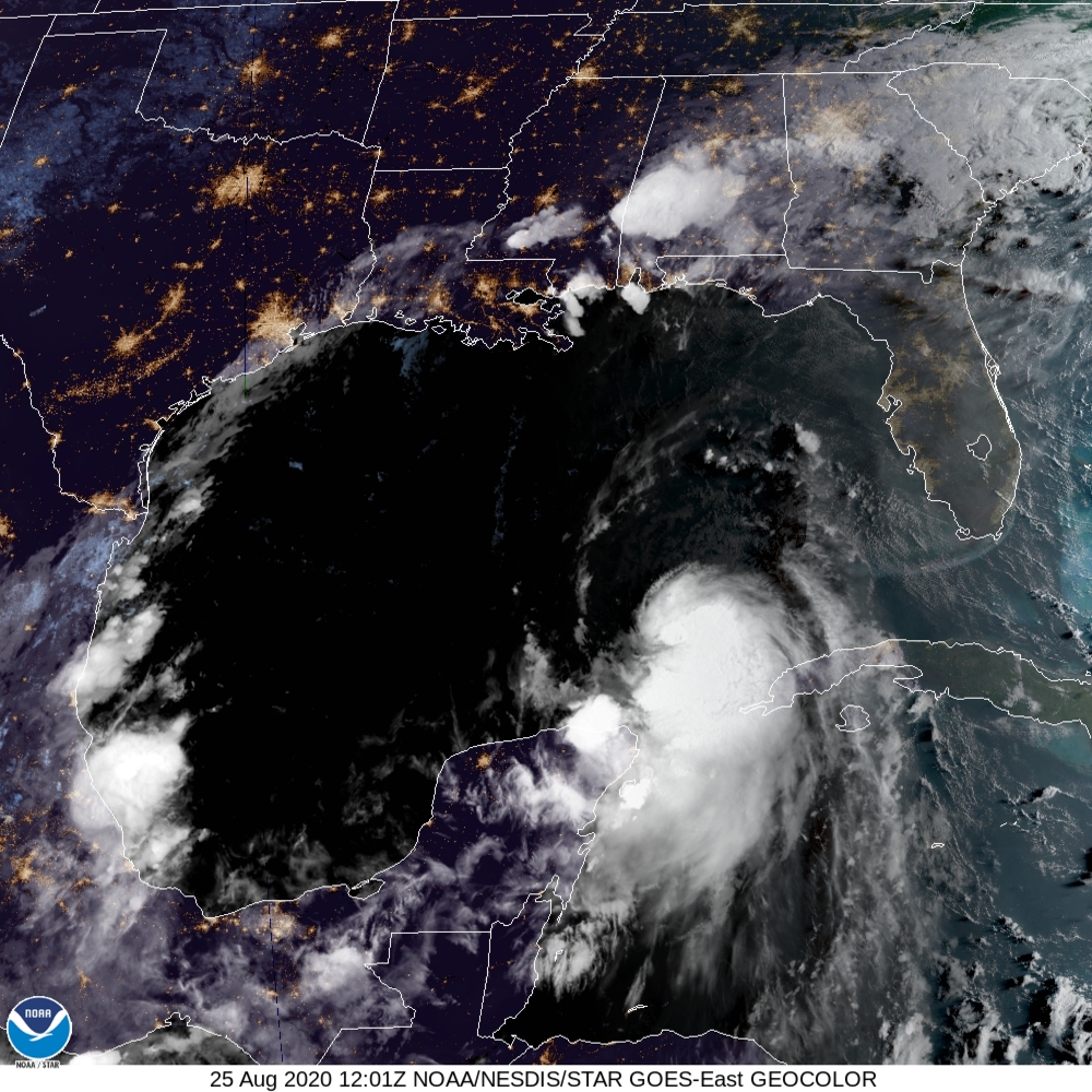
Laura is in the process of growing from a minimal hurricane to a Category 3 within 48 hours. Although the forecast track is on the Texas/Louisiana border, we are a coastal community and coastal flooding should be expected. If the storm grows, as many have in the past, it may flood much of Southeastern Louisiana.…
-

2020 Marco 8/24, 10 am CDT
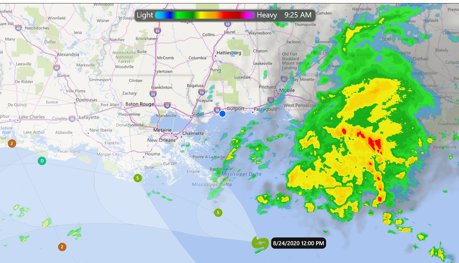
Wind shear decapitated Marco overnight. Although, the center of the storm is off the Southeast Louisiana coast, the mass of the storm is south of Alabama and the Florida Panhandle. People and businesses should follow their local guidance in this area. 4 am tracking information INIT 24/0900Z 27.6N 88.2W 50 KT 60 MPH 12H 24/1800Z…
-

Laura – Projected Track 7 am 8/24
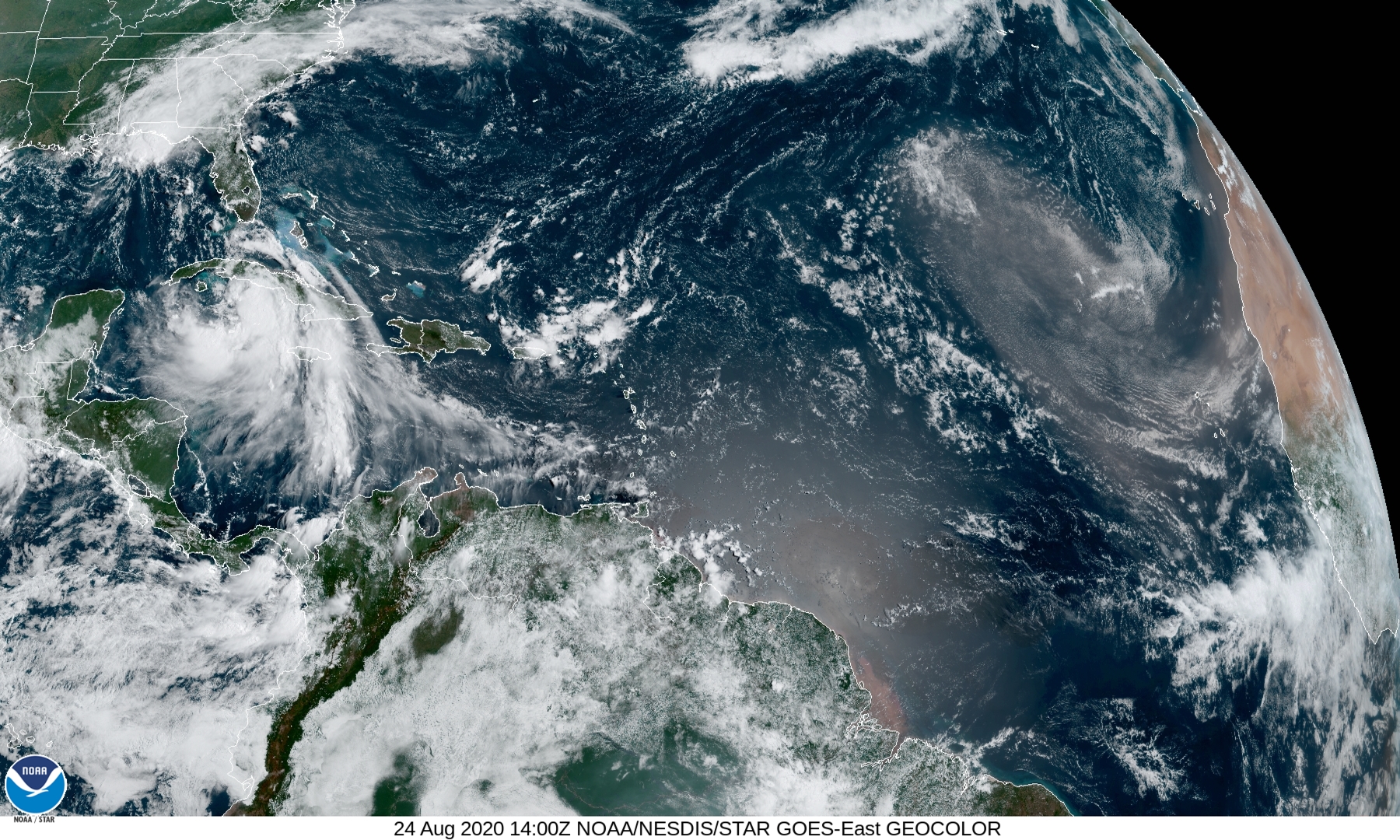
Laura’s current track using data from NHC/NOAA. You may zoom-in onto the track of the storm and select the icons for additional information. I’m calling this prototype #3. Feel free to share and/or comment your wishes. Good luck, and stay safe. Jay C. “Jazzy J” Theriot