Year: 2020
-

2020 Atlantic Storm Laura Category 3 Potential
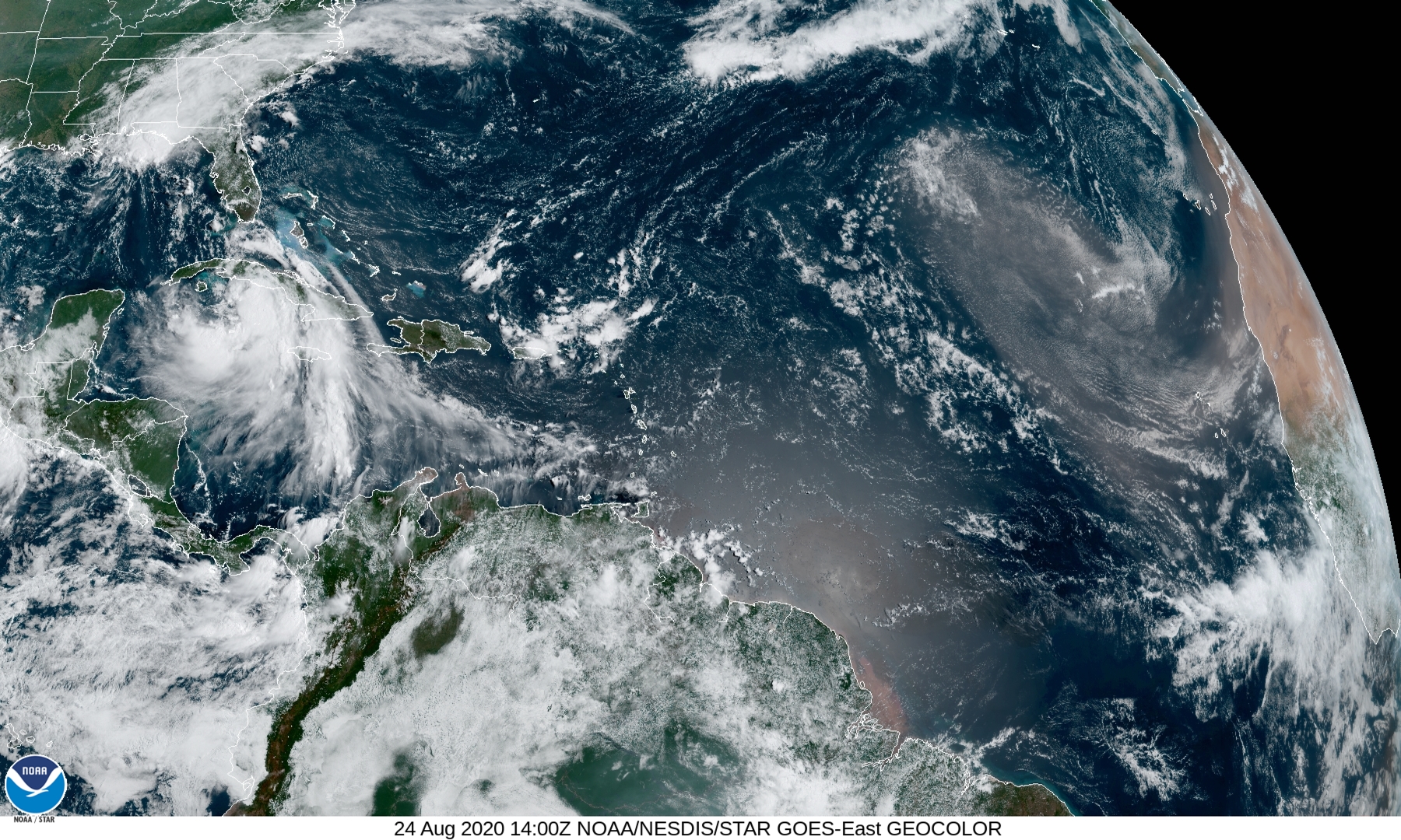
Laura is in the process of growing from a minimal hurricane to a Category 3 within 48 hours. Although the forecast track is on the Texas/Louisiana border, we are a coastal community and coastal flooding should be expected. If the storm grows, as many have in the past, it may flood much of Southeastern Louisiana.…
-

2020 Marco 8/24, 10 am CDT
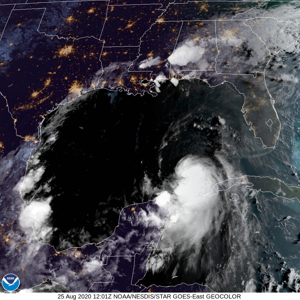
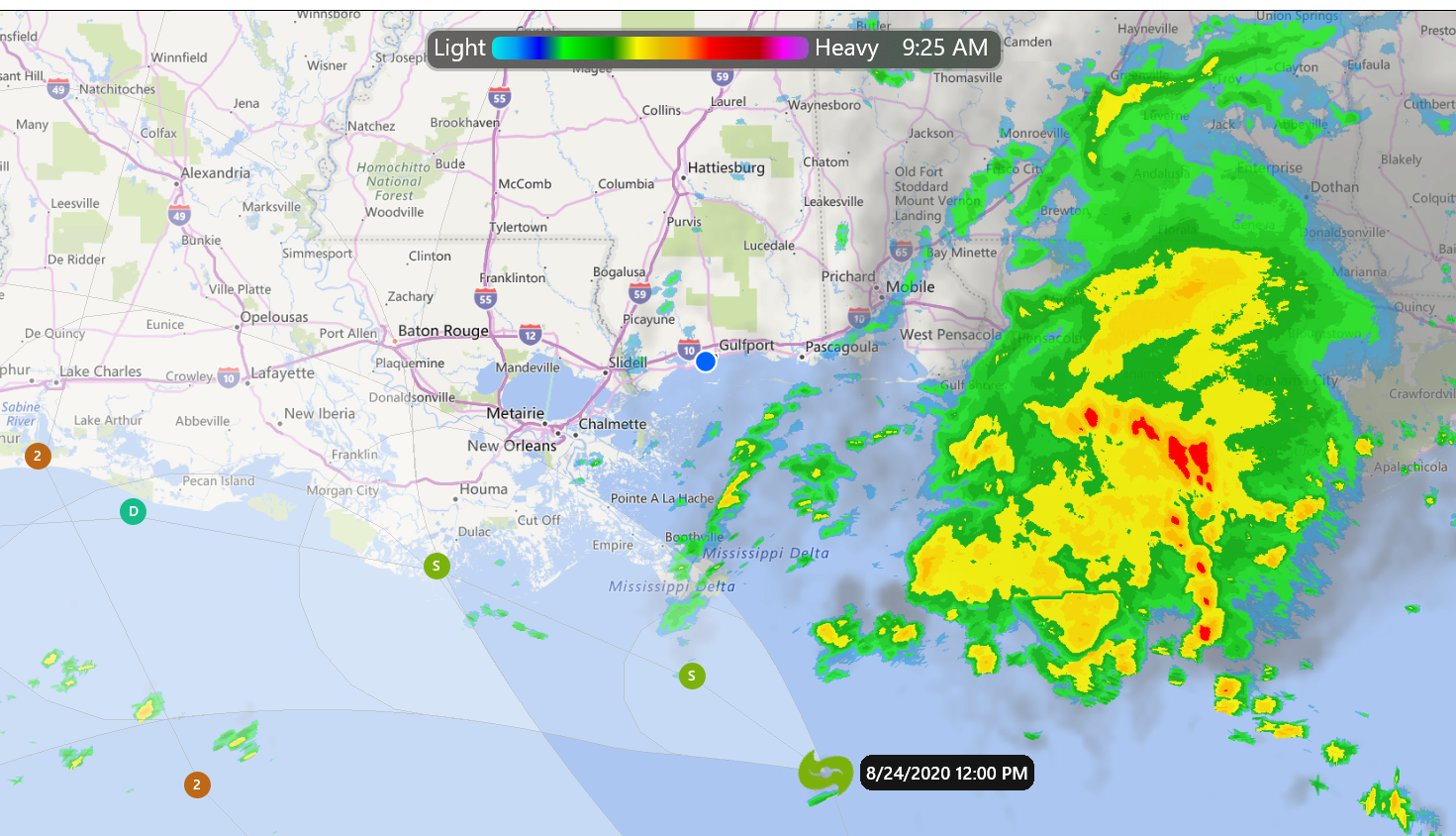
Wind shear decapitated Marco overnight. Although, the center of the storm is off the Southeast Louisiana coast, the mass of the storm is south of Alabama and the Florida Panhandle. People and businesses should follow their local guidance in this area. 4 am tracking information INIT 24/0900Z 27.6N 88.2W 50 KT 60 MPH 12H 24/1800Z…
-

Laura – Projected Track 7 am 8/24
Laura’s current track using data from NHC/NOAA. You may zoom-in onto the track of the storm and select the icons for additional information. I’m calling this prototype #3. Feel free to share and/or comment your wishes. Good luck, and stay safe. Jay C. “Jazzy J” Theriot
-
Wind Shear is a B*… just saying.
In the 10 pm, Aug. 23rd data released by NOAA, it appears that Marco is getting his head ripped off by wind shear. Currently about 30 kts, the shear is supposed to increase to about 40 knots and in 48 hours Marco will be completely torn to shreds. Now, for a good night sleep and…
-

Marco and Laura – Interactive Maps
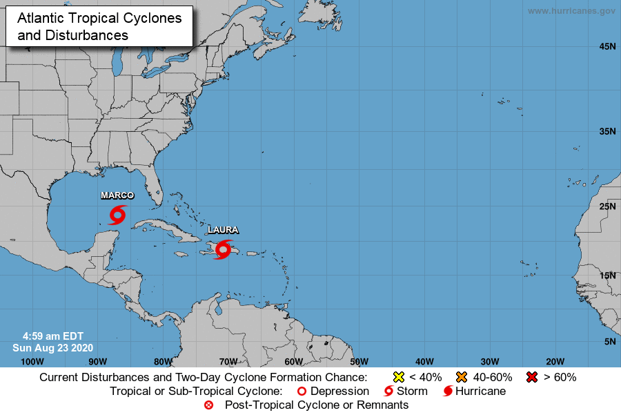
Welcome to 2020’s hurricane season. I’ve got not much to report except one bit of advice: Stay aware and prepared. Two storms will be hitting us within 24 hours of one another. Marco could be a strong cat 1 and Laura could be aspiring to be a cat 3 storm. Three or more days we…