Category: Classification
-
June 15th, Morning Outlook
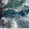
The weather map looks terrible, but things don’t seem to be that bad. For one, there is a weak high pressure system hanging out in the central GoM until “Mid-Week,” according to NOAA. I understand that tomorrow is “hump day” and thus, mid-week. But, if you look at the satellite imagery the central portion of…
-

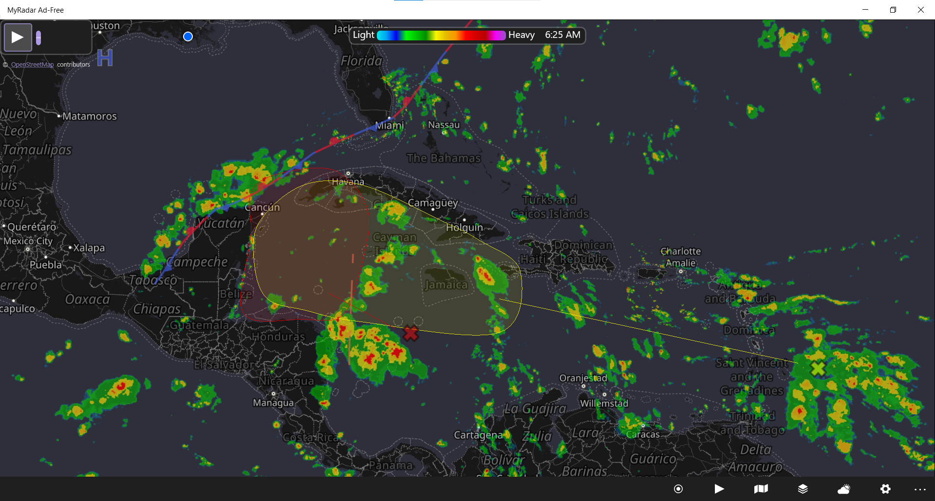
Bay of Campeche Disturbance
Basically, it’s too early to tell. The consensus is to check back on Wednesday. There is an area of weak high pressure in the central portion of the Gulf preventing rapid development. However, living in SELA, we don’t need rapid development to find ourselves in trouble. My recommendation is not to freak out, but just…
-
Offshore Waters Forecast for the Gulf of Mexico
Offshore Waters Forecast for the Gulf of Mexico NWS National Hurricane Center Miami, FL 318 PM EST Mon Mar 1 2021 Offshore Waters Forecast for the Gulf of Mexico Seas given as significant wave height, which is the average height of the highest 1/3 of the waves. Individual waves may be more than twice the…
-

Oct. 1, 2020, Morning Update: Time to watch the gulf again
[insert page=’resources/atlantic-tropical-outlook’ display=’content’ public] As you can see in the map above, we’ve got two areas of concern in the Caribbean Sea heading our way. 1. Showers and thunderstorms located over the west-central Caribbean Sea are associated with a tropical wave. A broad area of low pressure is expected to form in a day or…
-

Cristobal, June 7th, Landfall Imminent
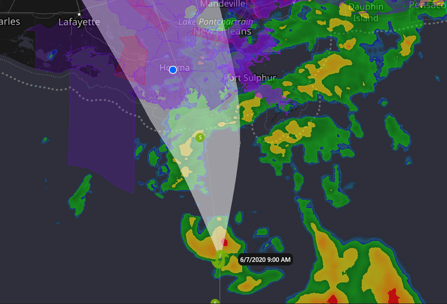
The projected path of the storm has changed very little over the last 24 hours, and landfall at Dulac/Cocodrie is imminent. By the time you read this, Cristobal could be on land. With the forward movement of the storm, the storm surge will not be as severe as it could be, but areas outside levy…